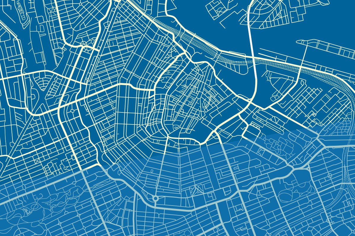
Mapping
Updating and correction of the Asset Inventory, with the utmost rigor and the latest technologies applied to the sector.
In the field of Geomatic Engineering we focus our efforts on six major areas:
- Mapping
- Topography
- Remote detection
- Terrestrial and Architectural Photogrammetry
- Mining
- Geographic Information Systems
KEY PRODUCTS:
- ASSET INVENTORY
- MUNICIPAL CARTOGRAPHY
- DIGITIZATION OF OLD PLANS
- LOCATION OF ASSETS